
it’s 80 in honolulu today. also tomorrow.
the sad thing is that it’s supposed to reach the 40’s here next week, and this seems so great to me…
anwyway, the last time i wrote about hawaii, we were hiking on the trail at the very end of the road on waimea canyon. i posted a couple of photos of the view. we walked up the road to the very last trail because they were re-paving the road. here’s a photo of me on the road.

i mentioned before that we hadn’t planned on a long hike; we’d worn hiking boots/tennis shoes earlier, but now i was in my tevas and kevin was wearing his birkenstock sandals, plus we only had a little water in a perrier bottle.
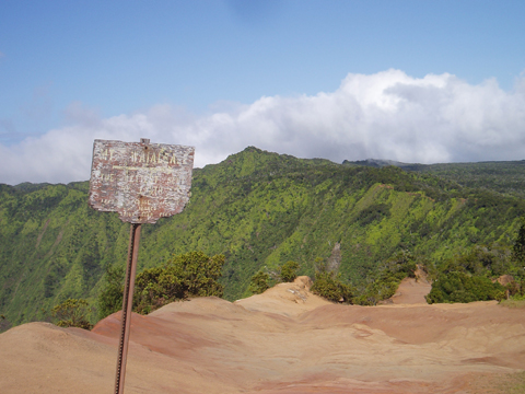
this is the sign at the beginning of the trail; looking at my hawaii guidebook, i can’t figure out the name of it.
we came across another couple, hiking up the trail, and they took our picture.
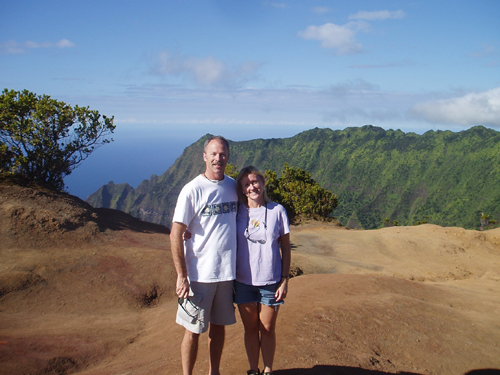
i’m smiling because i don’t realize how far we’re going to go. it wasn’t the distance, though, it was the steepness. as we hiked along the views continued to be spectacular, but then we kept climbing up and up, and it was getting more difficult and i was starting to be concerned about my ability to get back down. finally we reached a point where we’d have to scrabble up the side of the mountain, and i decided i couldn’t make it to the top. kevin, though, thought it was a great time, and so he went up without me (the man was wearing birkenstocks, remember). i waited around for him and became convinced that he’d definitely fallen to his death.
after a while, though, he came back down and said that he was sure i could make it. so i started up.
it was bad. not pretty. up and up and up, hanging onto vines and trees and anything i could get my hands on. it’s not so much the going up that’s bad for me, it’s the thought of trying to get back down.
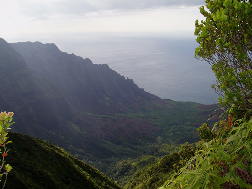
he kept saying “it’s just a little bit farther,” and i didn’t believe him, but finally we did make it to the top. and it was pretty darn spectacular. here’s one picture of the view.
there was also this little thing buried in the dirt, some kind of thing identifying it as the place where it was. yes, i realize that’s slightly vague, and i know that at the time it made sense, but right now, looking at the photo, it says “us coast and geodetic survey.” and i think it also says “triangulation station.”

i think we were at the Puu O Kila Lookout. here’s a photo at the point where i stopped hiking and refused to go on until kevin climbed up without me. see all bare dirt there in the middle, with indentations in it? that was the beginning of the climb.

after a while we had no choice but to hike down, and it wasn’t as bad as i’d built it up in my mind. here’s me, marching back to civilization.
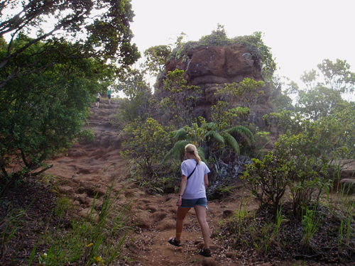
one other thing about this hike, besides wearing not that great footwear and hiking much higher than i’d ever have done on my own – i was also just wearing my prescription sunglasses. i have a pair of regular glasses, and then the prescription sunglasses on a string, and usually i wear the glasses on the top of my head, but when hiking they fall off a lot. so i was just wearing the sunglasses but it was rapidly getting kind of dark, and there i was hiking, in my shades.
it all seems so idyllic right now, with the snow piled up three feet high outside my front door.
time for some hot chocolate.
ok then,
grace SURELY nearing the end of winter.